S
640 x 427 px
FREE
M
1920 x 1280 px
FREE
L
6000 x 4000 px
FREE

Upgrade to download up to 10 images at a time.

Standard license

This Fuji and the red torii of Morokuchi Shrine seen from Heda fishing port photo can be used for personal projects. It can also be used for commercial projects in some cases. Read more

Image information
Nitahake:山の上でオクラ
Title: Fuji and the red torii of Morokuchi Shrine seen from Heda fishing port
Image ID: 25805329
Downloads: 0
Model release: N/A
Property release: N/A
Categories:
alam-pemandangan / Fuji and the red torii of Morokuchi Shrine seen from Heda fishing port
Fuji and the red torii of Morokuchi Shrine seen from Heda fishing port, toda, gunung fuji, kuil moroguchi, JPG
Creator avatar山の上でオクラ
0
icon filter search

Antivirus

S
640 x 427 px
FREE
M
1920 x 1280 px
FREE
L
6000 x 4000 px
FREE

Upgrade to download up to 10 images at a time.

Standard license

This Fuji and the red torii of Morokuchi Shrine seen from Heda fishing port photo can be used for personal projects. It can also be used for commercial projects in some cases. Read more

Image information
Nitahake:山の上でオクラ
Title: Fuji and the red torii of Morokuchi Shrine seen from Heda fishing port
Image ID: 25805329
Downloads: 0
Model release: N/A
Property release: N/A
Categories:
alam-pemandangan / Fuji and the red torii of Morokuchi Shrine seen from Heda fishing port

Similar free stock photos

View all

Similar free illustrations

View all
Saikyo Line single section station name sign
Saitama prefecture map illustration (without lines)
Saitama prefecture map illustration (with lines)
Illustration of a map of Saitama prefecture (with city and town names)
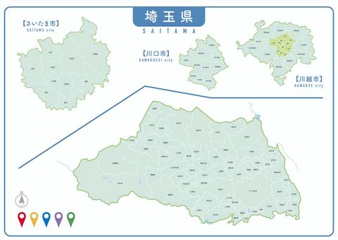
Saitama Prefecture City Map
Saitama Prefecture_dot map 01
Saitama Prefecture_dot map 02
Chuta Toda
Toda Tadatomo Edo Bakumatsu Utsunomiya Domain Old History
Toda Ujimasa Edo Bakumatsu Ogaki Domain Old History
Comments